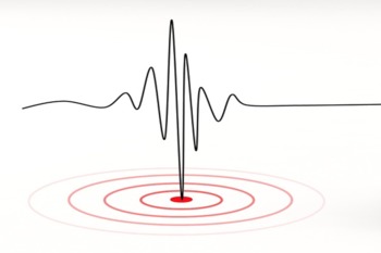
 Japan is a country located in the "ring of fire." Which means it is highly susceptible to tectonic activity like earthquakes and volcanic eruptions. A government task force is planning to redesign its hazard maps to better assist people living with color blindness.
Current earthquake hazard maps utilize colors to indicate the extent to which areas across the nation are susceptible to earthquakes. The new maps would discontinue the use of green; people living with color blindness have difficulty distinguishing between red and green.
"The biggest purpose of using different colors to indicate disaster-related risks, I think, is to allow for the public's fastest, easiest grasp of danger on the way. But if shown in problematic colors, such a method of communication could backfire," said Masahiro Nakade of the Headquarters for Earthquake Research Promotion.
San Diego Center for the Blind can help you or a loved one with vision loss or blindness. Please reach out to us to learn more.
"Hazard maps to get redesign for color blind"